Our team have experience in preparing LVIA reports for a range of development scales. LVIA are either required as a formal addition to an Environmental Impact Assessment (EIA), or as an appraisal of development proposals in support of a standard planning application where the views of the site, locality or landscape could be affected by the proposals. A well prepared LVIA can identify the potential effects; allowing guidance and mitigation to be identified to minimise or prevent degradation to the local landscape character.
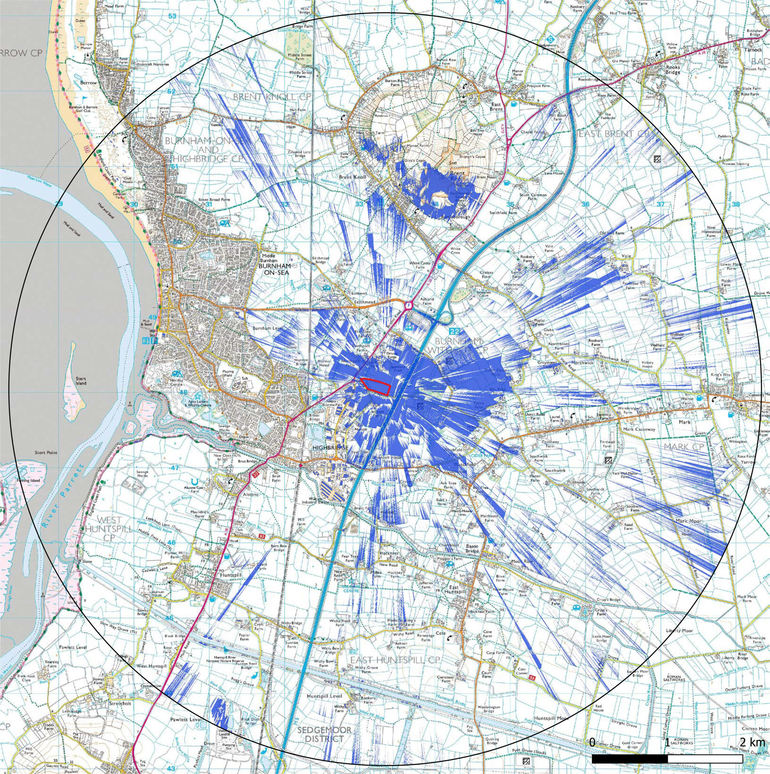
Each LVIA report is detailed; following updated GLVIA3 guidance to provide in depth Landscape Character Assessment, Viewpoint Mapping, Statutory designated sites Assessment to inform the Zone of Theoretical Visibility (ZTV) providing an assessment unique to the project location. We use GIS software and LiDAR terrain mapping data to establish the ZTV and to collate information layers for other supporting figures. Our visualisation team also have the capability to produce Accurate Visual Representations (AVRs) or Verified Views . These are computer generated images (CGI) that create a precise model of the proposed development, and then use site survey data to accurately position it within a viepoint to show the proposals.
